Kriváň hike: climbing Slovakia's national mountain
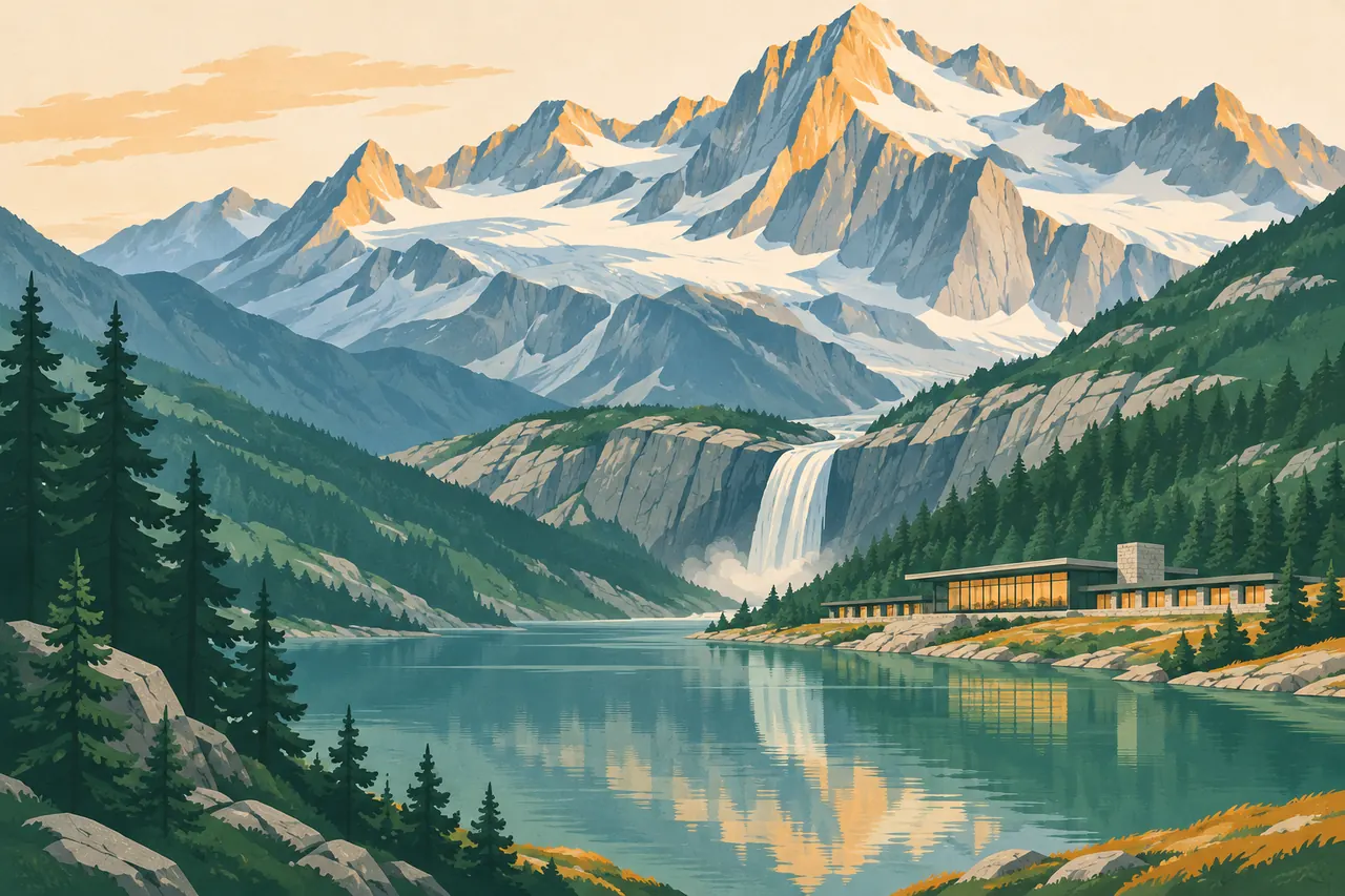
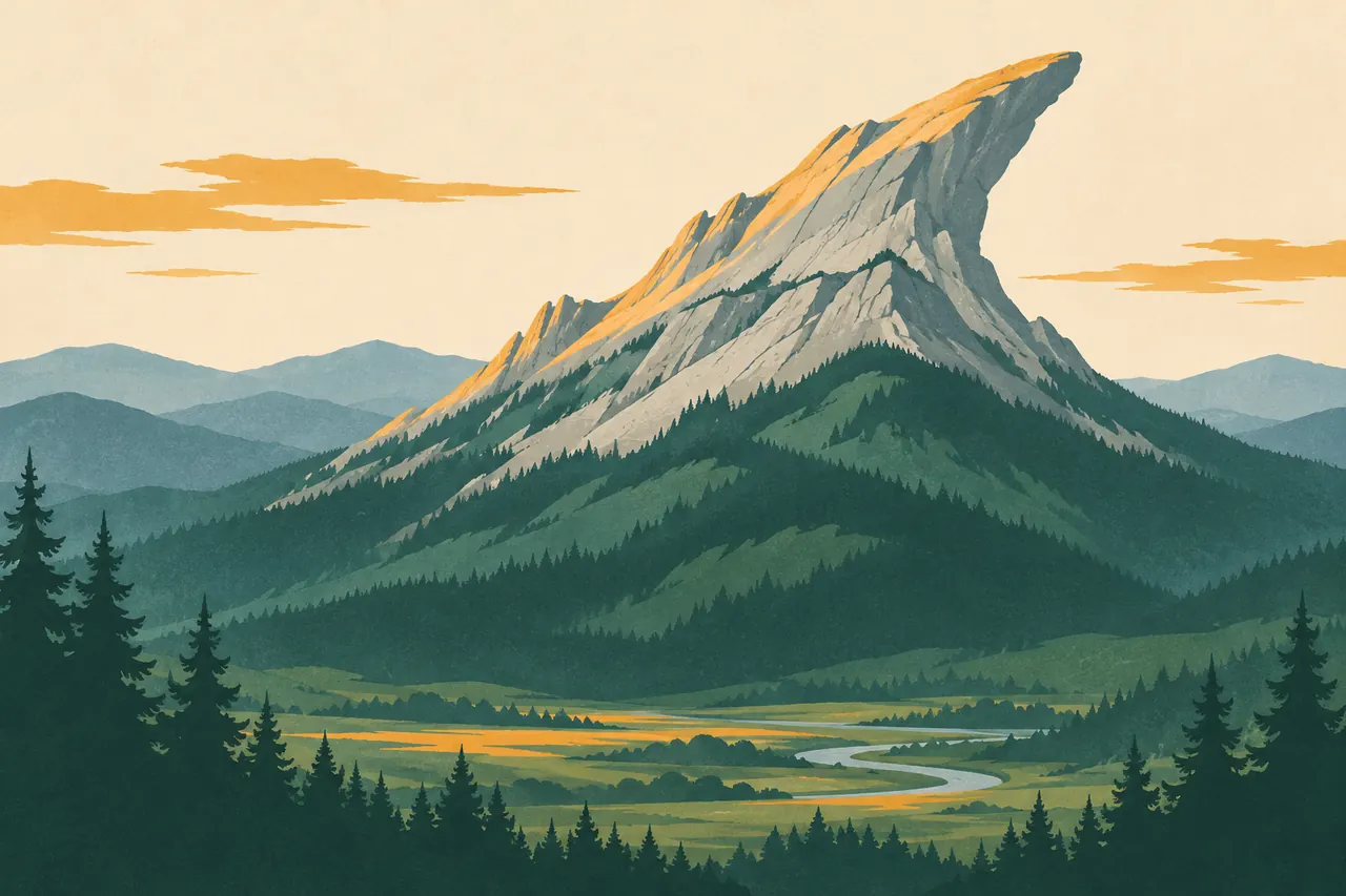
The Kriváň hike takes you up the mountain Slovaks put on their euro coins. Its crooked summit stands apart at the western end of the High Tatras, which makes the view from the top one of the widest in the range.
Two ways up
The shorter route starts at Tri studničky on the road towards Podbanské and follows the green-marked trail straight up the forested ridge. It is steep from the first step and gains height quickly.
The longer and more varied route starts at Štrbské Pleso and passes Jamské pleso, a quiet tarn in the forest, before joining the summit trail. Both routes meet below the top, so you can go up one and down the other if someone drives the car round. In summer a bus links the two trailheads on some days; check the current timetable.
The last hour
Above the tree line the path crosses boulder fields and the final ridge needs hands in a few places. There are no chains and nothing technical, but the rock is polished and slippery when wet. A double cross marks the summit.
Why Slovaks climb it
Kriváň became a symbol of the nation in the 19th century, after Slovak writers and patriots climbed it together in 1841. A national ascent is now held every August, when the trail is at its busiest. On any other day it is quieter than Rysy.
Mountain conditions change quickly. This guide is our personal recommendation, not an official source: before you set off, check the weather, avalanche warnings and trail status with the Mountain Rescue Service (hzs.sk) and the national park. Most high-mountain trails above the huts are closed from 1 November to 31 May. Walking times are for an average hiker and do not include breaks. You walk at your own risk; mountain rescue in Slovakia is charged for, so take out insurance.
Updated: